
Mount Tamalpais Hike – The Best Trails To Explore
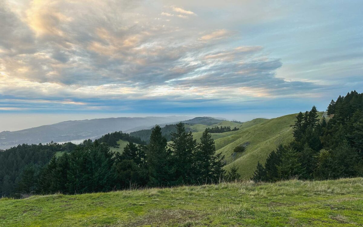
Where can you find the best panoramic views of San Francisco and the Pacific Ocean? Mount Tamalpais is north of the Golden Gate Bridge, and offers amazing opportunities to hike there. Aside from being close to San Francisco, the rolling hills and mountain top views make Mount Tamalpais one of the best places to hike.
I’ve been trying out various hikes in the Bay Area to find the best ones, and I can tell you with confidence that Mount Tamalpais definitely makes the cut. I love that you can explore both Muir Woods and Stinson Beach from here, opening up so many hiking options for outdoor lovers.
If you’re looking for a way to make your time in San Francisco extra memorable, check out these Mount Tamalpais trails with varying hike difficulty and scenery. I’ll also share about other things to do nearby, and things to bring.
This article uses affiliate links where I make a small commission if you make a purchase through my links, at no additional cost to you. As an Amazon Associate I earn from qualifying purchases.
This article uses affiliate links where I make a small commission if you make a purchase through my links, at no additional cost to you. As an Amazon Associate I earn from qualifying purchases.
About Mount Tamalpais
Mount Tamalpais is located north of the Golden Gate Bridge – the gorgeous mountainous backdrop behind San Francisco in Marin County.
What is the elevation of Mount Tamalpais?
The East Peak summit is at 2,571 ft elevation and can be reached by driving up to the nearest parking lot, followed by a 10-minute walk.

Mount Tamalpais State Park vs Watershed
Initially, I was confused about where the Mount Tamalpais boundary was supposed to be, because I saw people referring to it as either the state park or the watershed.
It turns out that there are 2 distinct parts to Mount Tamalpais. While most of it is within Mount Tamalpais State Park, the northeastern part is actually privately owned by Marin Water, called the Watershed.

The Watershed is where most of the water that has fallen on Mount Tamalpais drains into, providing water to the region. You can find the famous Cataract Falls here as it gushes after a good winter rain.
Surrounding the watershed on the south and western sides is Mount Tamalpais State Park. It is a huge area that even wraps around the Muir Woods National Monument. It also connects you to Stinson Beach, and also offers the highly sought after cabins and campsites at Steep Ravine which overlook the sea.
How to get to Mount Tamalpais
You’ll have to drive over the Golden Gate Bridge via Highway 101 which takes you into Marin County. Note that there’s a toll to pay when you’re coming back in the southbound direction, which you can prepare for here.
If you’re heading towards Stinson Beach, Highway 1 brings you westwards towards the coast. To head north towards East Peak or the various campgrounds, follow Panoramic Highway which winds through the ridge. However, do check ahead for any road closures after storms.


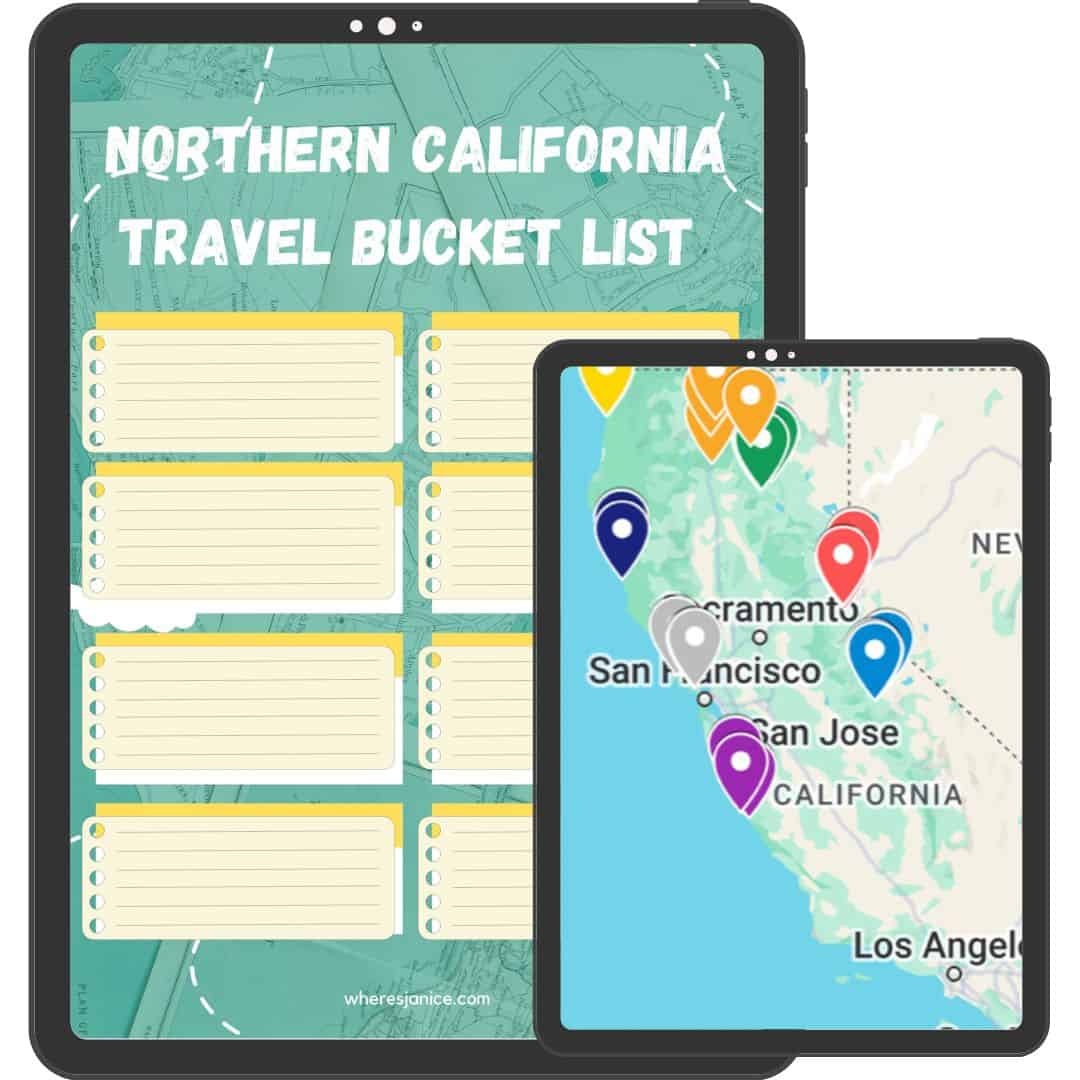
Mount Tamalpais Trail map
For quick reference, here is a combined map at a glance for each Mount Tamalpais hike listed in this article. You can click on each route to see which one it is, and read on to find out more about them.

Best time to visit Mount Tamalpais
While Mount Tamalpais, also known as Mount Tam, is beautiful year-round, I’d recommend visiting in the winter and spring for the most pleasant weather and to see rushing waterfalls. Summer can get really hot, with higher likelihood of fog obscuring the views you came here for.
If you’re visiting after a season of heavy rain, the Watershed is where you can find some of the best waterfalls in the San Francisco Bay Area. You’ll also get to enjoy the bubbling creeks that accompany you along the way, with lush moss and ferns decorating the forest.
What are the best trails for a Mount Tamalpais hike?
There is so much to see along these Mount Tamalpais hikes, including watching the sunset, going on a classic hike, or even simply trying to see San Francisco from the peaks. No matter what your fitness or comfort level is, there’s a hike in Mount Tamalpais that will blow your socks off.
1. Dipsea Trail, Steep Ravine Trail, and Matt Davis Loop

This loop is a classic Mount Tamalpais hike that involves climbing uphill from Stinson Beach towards Pantoll Ranger Station and back down. Along the way, you’ll enjoy the waterfalls, wildflowers in spring, and the ocean views. You’ll also encounter a step ladder that takes you up the steep sections along Steep Ravine Trail beside Webb Creek. That’s pretty iconic if you ask me.
Distance: 6.7 miles (10.8 km) (AllTrails link)
Duration: 4 hours
Elevation gain: 1,700 ft (518 m)
Difficulty: Moderate to hard
Starting point: Dipsea Trail Head near Stinson Beach
2. East Peak Summit Plank Trail
This is a short trail that takes you from the visitor center to the Gardner Fire Lookout at the East Peak summit. Make sure to wear proper hiking shoes as you will be going through some rocky paths. Although the AllTrails link below shows you a loop, it is actually closed partially so you will need to do an out-and-back hike.
The Gardner Fire Lookout was actually built in 1935, and is still used by the Marin County Fire Department today. From here, you may be able to see San Francisco and the Golden Gate Bridge on a clear day.
Distance: 0.6 miles (965 m) (AllTrails link)
Duration: 20-30 minutes (round trip)
Elevation gain: 220 ft (67 m)
Difficulty: Moderate
Starting point: Mt. Tamalpais State Park Visitor Center
3. Verna Dunshee Loop Trail
For a more accessible alternative to the Plank Trail, consider the Verna Dunshee Loop Trail which also goes around the East Peak summit. The trail is relatively flat and paved, with a slight incline overall. There are various observation points along this outer loop to help you enjoy the views wherever you are.
Distance: 0.8 miles (1.3 km) (AllTrails link)
Duration: 20 minutes
Elevation gain: 69 ft (21 m)
Difficulty: Easy
Starting point: Mt. Tamalpais State Park Visitor Center
4. Cataract Falls Trail
If you’re looking for the ultimate waterfall hike near San Francisco, consider checking out Cataract Falls Trail. It is located in the Mount Tamalpais Watershed with a few ways to get there.

Option 1: From Rock Spring Trailhead
This trail descends from the ridge and passes by a series of waterfalls including Cataract Falls which comes up at the end. It leads you downhill towards Alpine Lake where all the water from the falls will empty into. There will be many steps on this trail, but the serene forest creek experience is well worth it.
Distance: 5.6 miles (9 km) round trip (AllTrails link)
Duration: 3.5 hours
Elevation gain: 1,350 ft (411 m)
Difficulty: Hard
Starting point: Rock Spring Trailhead

Option 2: From Cataract Trailhead at Alpine Lake
For a shorter hike, consider hiking up to Cataract Falls from Alpine Lake. This goes in the opposite direction compared to the previous option, and offers a quick hike for those who only want to see Cataract Falls.
Distance: 2.8 miles (4.5 km) round trip (AllTrails link)
Duration: 2 hours
Elevation gain: 1,053 ft (321 m)
Difficulty: Moderate
Starting point: Cataract Trailhead
5. Mount Tamalpais to Muir Woods

Want to see both Muir Woods and Mount Tamalpais in the same hike? Consider hiking down to Muir Woods through the so-called backdoor. There are a few trails and starting points to consider, including from Bootjack Campground, or from Mountain House Inn, depending on where you find parking.
For a challenge, you could even complete a loop that goes all the way up to East Peak. This way, it doesn’t really matter where you start the trail. Here are the details, assuming you start from Bootjack Campground.
Distance: 11 miles (17.7 km) round trip (AllTrails link) – shorter out and back variations possible too
Duration: 6 to 6.5 hours
Elevation gain: 2,490 ft (759 m)
Difficulty: Hard
Starting point: Bootjack Campground
6. Mount Tamalpais Pancake Hike (May to October)
Did you know that there’s a hidden gem hike in Mount Tamalpais where you can hike to a pancake breakfast? The West Point Inn runs annual fundraising events on selected days where the public is invited to visit and enjoy the stunning scenery while having pancakes.
On those days, plan to arrive at West Point Inn early as the fluffy pancakes are served from 9am to 1pm only. It costs $13 per adult portion, and $8 for kids under 12 years. You can also opt for blueberries when they’re in season for extra $2. Payment is by cash, check or venmo.
These pancake days are only available from May to October, on Mother’s Day, Father’s Day, and every second Sunday of the month. If this sounds exciting to you, mark down these 2025 dates: May 11, June 15, July 13, August 10, September 9, and October 12.
Distance: 1.5 miles (2.4km) one way – shortest route with free parking
Duration: 45 minutes one way
Elevation gain: Flat
Difficulty: Easy
Starting point: Quarry Parking Lot, Behind Mt Tam’s Mountain Theater
Other things to do in Mount Tamalpais
Aside from hiking, there are several options for making the most of your time here. Overall Mount Tamalpais is an excellent destination for unwinding, whether it’s through admiring the views or having a weekend staycation on elevated ground.

Watch the sunset
The best part of Mount Tamalpais to watch the sunset is on the west to southwest-facing side. Here are some amazing viewpoints you can easily get to.
- Ballou Point (turnout parking)
- O’Rourke’s Bench, also known as Vista of San Francisco (short walk from Rock Spring Trailhead parking)
- Forbes Bench (short walk from Rock Spring Trailhead parking)
- Trojan Point (short walk from a small parking area)
Do note that the park technically closes at sunset, so try not to linger for too long past sunset to avoid fines.

Camp at Mount Tamalpais Steep Ravine cabins or campground
One of the most relaxing things to do is to go camping – whether that’s in a remote cabin or campsite. Steep Ravine’s historic cabins are available for booking, though they are very popular and require a lottery entry before you can make a reservation. If you do get a chance, you should definitely try staying here. Alternatively, the campsites that face the same way as the cabins also offer great value.
Going hiking or camping soon? Check out some of my tips and gear recommendations:
Cold weather camping gear | Camping starter kit | Affordable hiking backpacks | Weekend camping trip planning + packing list | First-timer tent camping tips | Hiking boots for women | Rooftop tents for car camping
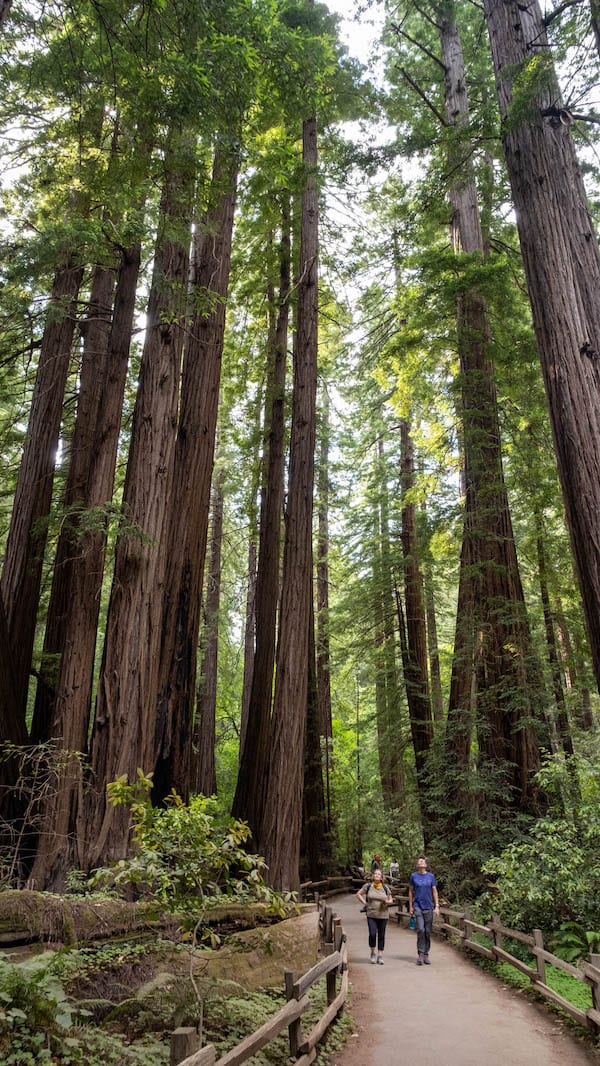
Explore Muir Woods National Monument
Muir Woods is just beside Mount Tamalpais and is definitely worth checking out if you’re in the area. It is famous for being one of the places with huge redwood trees that are considered old-growth. The most popular and also easy trail to check out is Main Trail, a must-see for first timers.
One benefit of accessing Muir Woods from Mount Tamalpais is that you don’t need to worry about parking reservations that are required at Muir Woods.
What to bring
To make the most of your adventure, it’s essential to come prepared. Here’s a checklist to ensure you have everything you need.
Hiking essentials and comfort items
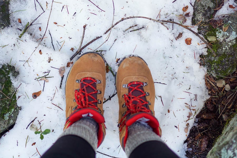
- Hiking boots or shoes: Comfortable and supportive footwear is a must so you’ll have the best experience. Waterproof boots can be useful for muddy trails.
- Hiking day pack: It should have enough space to store snacks, water, and any extra clothing. Here are some affordable hiking backpacks below $100 to consider.
- Water: Stay hydrated, especially during warmer months. Water reservoirs with up to 3-litre capacity are useful for longer hikes. In general, bring at least 0.5 litres for every hour of hiking.
- Map and navigation: Having offline trail maps adds an extra layer of security. Offline Google Maps also helps.
- Snacks: Pack energy-boosting snacks to keep you fueled throughout the hike. These could be energy bars, nuts, or some sweets.
- Sun hoody: This UPF 50+ sun hoody is very breathable, comfortable, and blocks her 98% of UV from reaching your skin.
- Sunscreen and cap: Protect yourself from the sun, especially during the open sections of the trail.
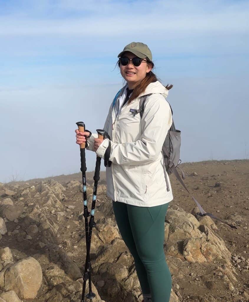
- Layered clothing: For example, bring a fleece sweater and wear a sweat-wicking base layer. Rain jackets can also act as a windbreaker.
- Camera
- Phone tripod: If you’re hiking alone, having a phone tripod is great for filming shots of yourself.
- Trekking poles: Provide extra stability on uneven terrain and downhill sections.
Shop hiking gear
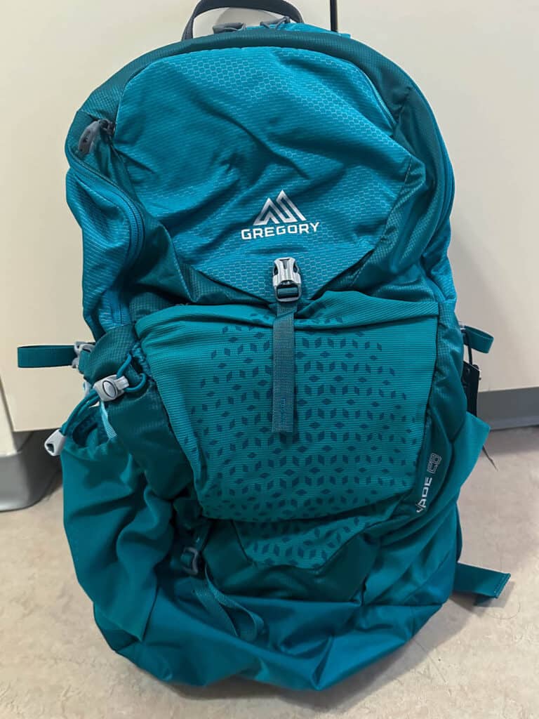
A reliable hiking day pack for carrying essentials – even comes with a rain cover.
Patagonia Torrentshell 3L Rain Jacket
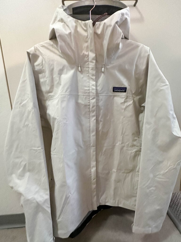
Keep dry and comfortable with a reliable waterproof jacket for unpredictable weather.
Cascade Mountain Tech Trekking Poles
Lightweight hiking poles that support you both uphill and downhill.
Columbia Benton Springs Full Zip Fleece
Insulating mid layer fleece that repels water and keeps you warm.
Frequently asked questions before a hike in Mount Tamalpais
Here are some additional information to help you prepare for your trip to Mount Tamalpais.
Where to stay near Mount Tamalpais
- Mill Valley Inn
- Mountain Home Inn
- West Point Inn
- Surf Lodge
- Sandpiper Lodging at the Beach
- Mount Tamalpais Steep Ravine cabins and campground
How long is the hike up Mount Tamalpais?
One of the trails that takes you from the beach up to Mount Tamalpais is the Dipsea Trail, Steep Ravine Trail, and Matt Davis Loop. It takes about 4 hours with 1,700 ft elevation gain.

How hard is it to hike Mount Tamalpais?
With the above example of the Dipsea Trail, Steep Ravine Trail, and Matt Davis Loop – it will be moderate to hard to hike up to Mount Tamalpais. Do bring enough water and snacks, and hiking poles if required. Take many breaks and go at your own pace, and you’ll find the trail to be very enjoyable with the lovely views it offers.
Where do you park to hike Mount Tamalpais?
There are several parking spots all over Mount Tamalpais, which are conveniently marked out by orange pins in this map.

If you’re in a rush, I recommend the following parking spots if you plan to:
- Hike from the beach: Stinson Beach parking
- Hike to Cataract Falls: Rock Spring Trailhead (Free), or Alpine Lake roadside parking
- Hike to East Peak summit: Visitor Center parking (Paid)
- Hike to Muir Woods: Opposite Mountain House Inn (Free), or Bootjack Campground day use area (Paid)
- Hike to West Point Inn: Quarry Parking Lot (Free), Pan Toll Campground (Paid), Visitor Center parking (Paid), opp Mountain Home Inn (Free), Bootjack Campground (Paid)

Is there an entrance fee for Mount Tamalpais State Park?
There are no entrance fees. However parking fees may be required at East Peak, Pantoll and Bootjack parking at Mount Tamalpais State Park.
As for Mount Tamalpais Watershed, parking fees are only required if you’re entering from Sky Oaks Watershed Headquarters.
Can you drive up Mt Tam?
Yes, you can drive up to the East Peak which is located near the Mount Tamalpais Visitor Centre. The summit is accessed via either the Plank Trail or the Verna Dunshee Loop Trail. Both of them lead to Gardner Fire Lookout at the top of East Peak.
You’ll also pass by West Peak when driving along Panoramic Highway, though the summit itself is off limits. This is near “The Pole”, a popular viewpoint marked out on Google Maps.
Are dogs allowed on Mt Tamalpais trails?
Dogs on leash are allowed in the Mount Tamalpais Watershed, but not allowed on most trails in Mount Tamalpais State Park.
More of my travel guides to help you plan your classic California experience
Lassen Volcanic | Lake Tahoe | Yosemite | Point Reyes | San Francisco Day Trips | Half Moon Bay | Pescadero | Big Sur | Santa Cruz | Monterey | Carmel-by-the-Sea | Catalina Island | Death Valley | 10-day California Road Trip | Rental car tips | Bay Area Must-Visit Places
Not sure where to start? I have some ideas for your California trip!
Best stops along California’s coast | Must-go for outdoor lovers | Best winter camping | Bucket-list backpacking trips | Best SF Bay Area hikes | Best California Glamping | Best beach towns


